Pine Mountain Trail Map - Tom Harrison

-40% koodiga BOOKS
Saadetis 31-37 tööpäeva jooksul
30-päevane tagastamisõigus
This is a little-known area in Marin County, just west of our Mount Tam map. It is very isolated and used by mountain bikers and horse riders. The scale is 1:24,000 (1 inch represents 2000 feet) the contour interval is 40 feet. Printed on waterproof & tear resistant plastic.
Võib-olla meeldib sulle ka

Soph's Plant Kitchen 30 in 30: 30g of protein, 30 minutes or less: 100 plant-based recipes from the Sunday Times Bestselling author
-40% koodiga BOOKS
Meie tarnija laos


Take Me To Your Leader: Perspectives on Your First Alien Encounter
-40% koodiga BOOKS
Meie tarnija laos
The Antiquarian Sticker Book: Over 1,000 Exquisite Victorian Stickers
-40% koodiga BOOKS
Meie tarnija laos

Murdle: Volume 1: 100 Elementary to Impossible Mysteries to Solve Using Logic, Skill, and the Power of Deduction
-40% koodiga BOOKS
Meie tarnija laos

The Antiquarian Sticker Book: Bibliophilia: Over 1,000 Exquisite & Erudite Stickers
-40% koodiga BOOKS
Meie tarnija laos

Murdle: Volume 2: 100 Elementary to Impossible Mysteries to Solve Using Logic, Skill, and the Power of Deduction
-40% koodiga BOOKS
Meie tarnija laos
Salt, Fat, Acid, Heat: Mastering the Elements of Good Cooking
-40% koodiga BOOKS
Meie tarnija laos
How to Win at Chess: The Ultimate Guide for Beginners and Beyond
-40% koodiga BOOKS
Meie tarnija laos
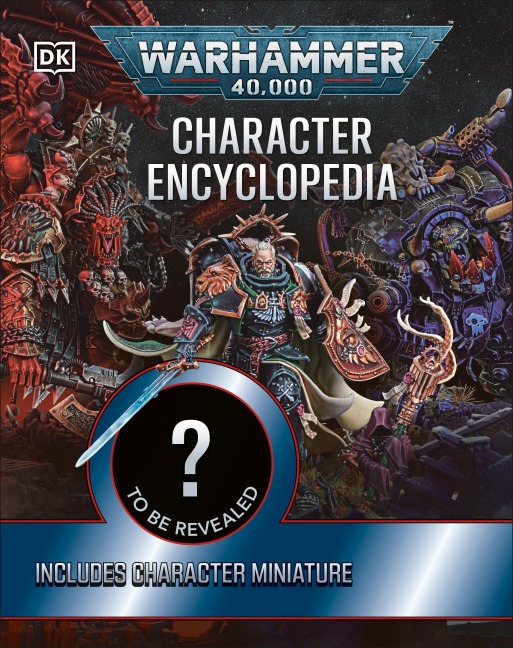
Warhammer 40,000 Character Encyclopedia: The Instant Sunday Times Bestseller! Includes Lieutenant Titus Miniature
-40% koodiga BOOKS
Meie tarnija laos
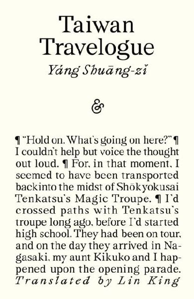
Taiwan Travelogue: Winner of the 2026 International Booker Prize
-40% koodiga BOOKS
Meie tarnija laos

Into Thin Air: A Personal Account of the Mt. Everest Disaster
-40% koodiga BOOKS
Meie tarnija laos

Endurance. Anniversary Edition: Shackleton's Incredible Voyage
-40% koodiga BOOKS
Meie tarnija laos


Riot Games: League of Legends: Realms of Runeterra (Official Companion)
-40% koodiga BOOKS
Meie tarnija laos

The Ransom Note Sticker Book: Thousands of letters for your anonymous messages
-40% koodiga BOOKS
Meie tarnija laos
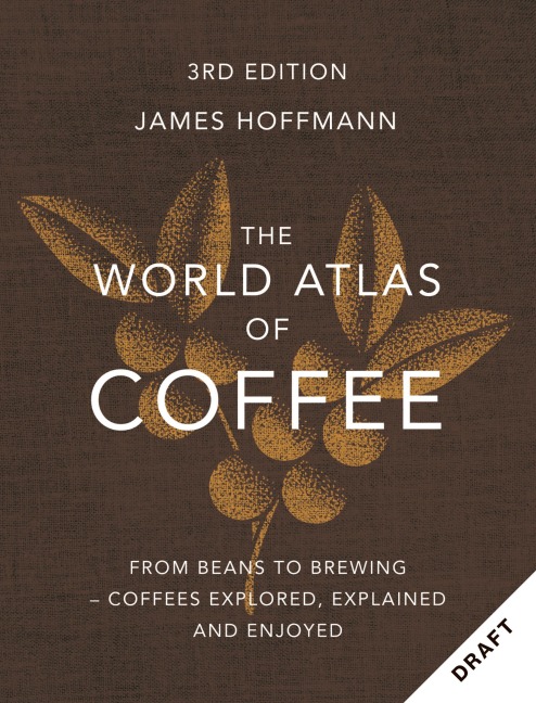
The World Atlas of Coffee 3rd edition: From beans to brewing - coffees explored, explained and enjoyed: the ultimate gift for coffee lovers
James Hoffmann, Ruth Ainsworth
-40% koodiga BOOKS
Meie tarnija laos

How to Win at Chess: The Ultimate Guide for Beginners and Beyond
-40% koodiga BOOKS
Meie tarnija laos
Kirjeldus
This is a little-known area in Marin County, just west of our Mount Tam map. It is very isolated and used by mountain bikers and horse riders. The scale is 1:24,000 (1 inch represents 2000 feet) the contour interval is 40 feet. Printed on waterproof & tear resistant plastic.
Lisateave
| Autor | Tom Harrison |
|---|---|
| Kirjastaja | Tom Harrison Maps |
| Series | Tom Harrison Maps |
| Väljalaskeaasta | 2009 |
| EAN | 9781877689826 |